Posts

1866 Map of Banff Harbour

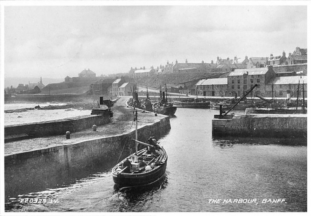
Walking past the harbour, partially repaired, raised questions about the railway pier and how the harbour had developed. The harbour in Banff is fascinating as for many years it was the home to fishing boats but also ships that sailed the world, bringing in raw materials needed in Banff and the surrounding area and exporting goods from this area.

The earliest mention of a harbour or safe haven is stated by Cramond (The Annals of Banff) to be in 1471, when the “Peel Heife” or Peel Haven, was next to the area used as the site for rebuilding the Kirk of Banff,St Mary’s Kirkyard, and that it had previously been where “boats and small craft were generally moored”.

In the early 1600s, plans were made for a harbour at Guthrie’s Haven and in 1625, James McKen, Fraserburgh, was employed to clear Guthrie’s Haven of rocks. (where the harbour is now) Records were found of people contributing £88 14s. 10d. towards building the harbour in 1626.

By the 1730s the harbour was still not complete and the town was unable to complete the work within a year as funds were low, despite gaining funding from across Scotland by voluntary contributions, so the storms in winter destroyed much of the work undertaken in the previous summer.

A renewed effort brought more contributions from across Britain and Europe e.g. Provost Hamilton in Bordeaux sent strong claret which was “rouped for eight guineas” and an order was issued by the Council for “a man from every family in town to work for a whole day or two tides, for carrying off the chingle thrown in to the harbour of Guthrie”

By 1760 there was “a basin with two piers, in which a ship of a hundred tons can lie with safety”.

By 1770 a new harbour was planned and the foundations were being laid, according to a plan by John Smeaton.

By 1818 further improvements were needed and a plan was drawn up by Mr Thomas Telford. The works were to cost £14,000 and consisted of building new piers. The work was not without problems as a storm in 1828 wrecked part of the partially built pier and the pier then had to be built higher and thicker.

Throughout its existence regular maintenance and improvements have been needed.

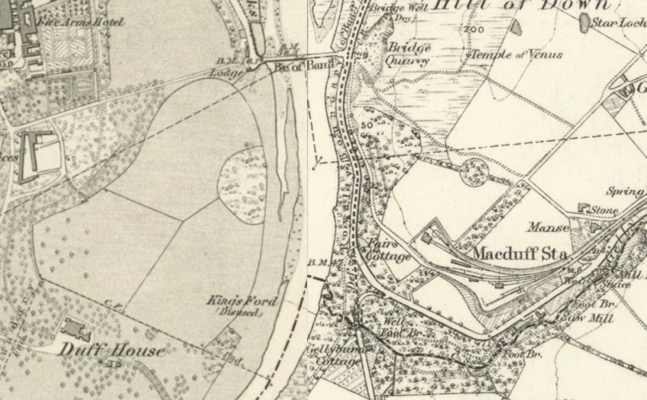
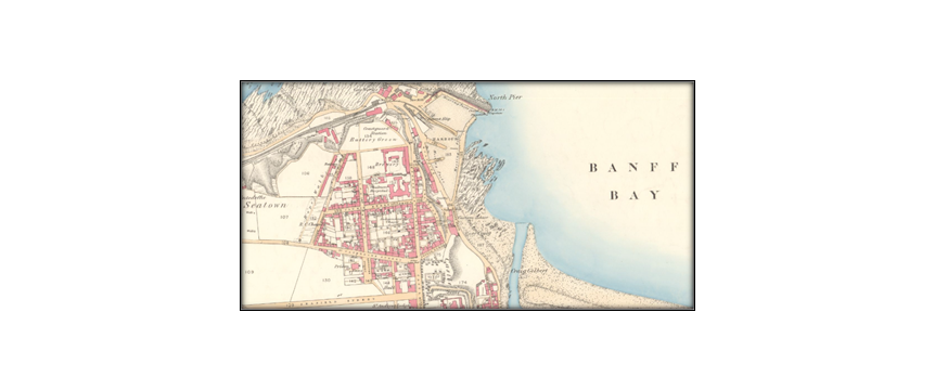
From approximately 1859 to 1910 the Banff, Portsoy and Strathisla railway ran right to the harbour but in 1910 the link to the harbour was dismantled. It can be seen on the map of 1866. The National Library of Scotland has several maps of Banff that show how the harbour has changed over time.

The harbour has faced periods of great prosperity and some really difficult periods so hopefully better times will return soon for this wonderful historic harbour.

Photo of old yellowed map showing the River Deveron and the piers of the first Banff Bridge.

The present Banff Bridge was opened in 1779, although not formally signed off until 17th June 1780.  Some of the original drawings of this Smeaton designed bridge, widened in 1881, do exist.  Many people are however aware that the present bridge replaced a previous one but little is known about it.

The Roy map of 1747 gives a sketch of both Banff and Down (although the latter is not named) and it does show a ford across the river.  This appears to be the King’s Ford, located 1350 feet south of the present bridge, just upstream of the mouth of the Gelly Burn on the Macduff side; part of the track from this ford to Down is still traceable on the ground.

A bit later there was also another ford utilising the west end of Scurry Island – the island just round the first major bend to the south – which joined the track past what is now Kirkside farm.

Use of the fords however was quite difficult and certainly dangerous; the tracks to them were also reported as not easy to navigate in wet weather – or until the 2nd Earl Fife undertook to improve them if the land was passed to him – which only took place in 1777.  The alternative was the use of a ferry, but some of the arguments used to make the case for a bridge show how dangerous the ferry was too: “not a single year passed without some unfortunate occurrence at this ferry”; “inconvenience to the public”; “frequent stoppage of mails”.  One of the reported incidents was 12th January 1739 when several people lost their lives after the ferry overturned.

The case for a bridge over the river was several decades in the making, and the earliest known detailed map of either Banff or Down (not named Macduff until 1783), dated October 1763, does show the beginnings of the first bridge.  This unique map shows the first bridge had three piers in the river, plus one on each bank – hence four arches compared to the present seven arched bridge.  It was largely paid for by the Government and is reported to have cost between five and six thousand pounds.  It opened in June 1765.

However great it was to stay dry crossing the river – remembering it was the main route to Aberdeen – on 17th September 1768 there was a large storm, and a huge spate of water came down the river.  This undermined the west, Banff side, pier, and the bridge collapsed, although fortunately without loss of life.

Unfortunately the ferry that had to be resumed was not so safe; in January 1773 seven lives were lost when the ferry was carried out into Banff Bay.

Smeaton decided that the new bridge should be located “the breadth of itself further up”.  Not particularly clear but the 1763 map allows some scale measurements to be taken and it would appear the old bridge was slightly to seaward of the present bridge.  The stones from the old bridge were re-used in the new bridge when work started in 1772, much of the rest coming from the quarry now at Bridge garage.