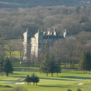
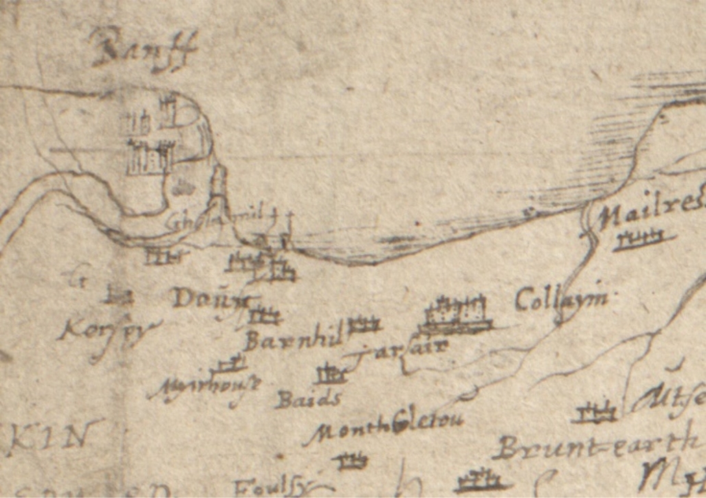
The earliest map that shows any level of detail for Banff or Macduff is dated AD 1600 and names the towns of Banff and Doun, also the settlements of Gellymill, Barnhill and Tarlair. But it also shows the shape of the river mouth, clearly indicating the bar coming from the Doun (Macduff) side. This expanded estuary covers a much larger area than the river does today, and may well have included not just Greenbanks, but the low lying land where Duff House now stands.
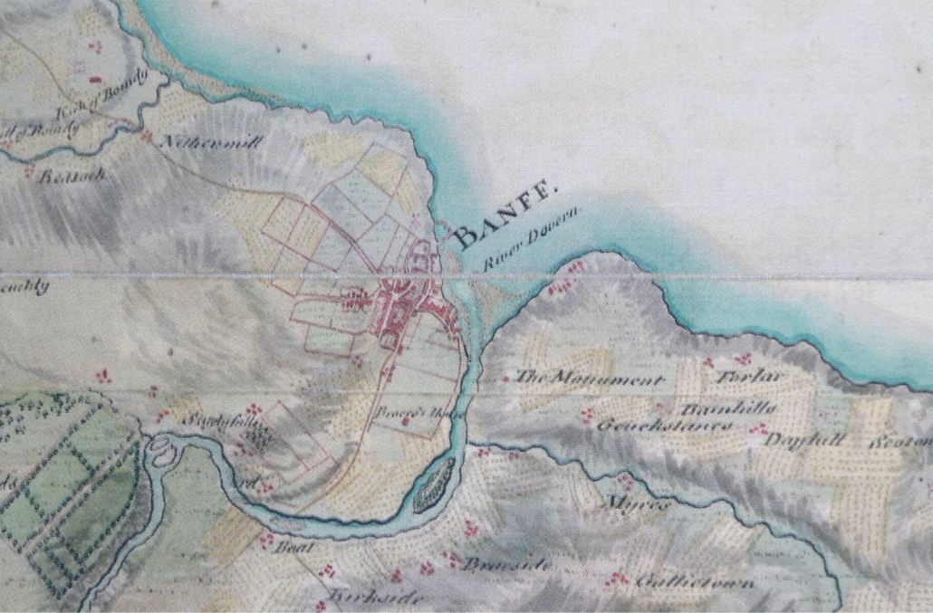
The next image is the first indication of what is a harbour, essentially shared between both Banff and Macduff. Unfortunately it is a century and a half later before there is another map that gives any detail of the area. This is the map produced by General Roy in the aftermath of Culloden, to inform the government of potential routes for it’s army around Scotland. The bar from the Macduff side is clearly still shown, with Greenbanks still submerged. Duff House is now shown (“Braco’s House”) and the Temple of Venus.
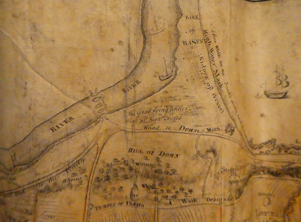
The very detailed map of Macduff in 1763 shows not only the shape of the river, but clearly how the river mouth is used by substantial ships (of their day) as a harbour. Interestingly this map also shows the piers of the first Banff Bridge, not reportedly completed until 1765. This map was commissioned as part of the town planning for the new town of Doune – not named as Macduff until 1783.
Note: the next available maps are 1772 and 1775. The former does not show any Banff Bridge, as it had been swept away in 1768. The Taylor & Skinner map of 1775 shows the new Banff Bridge.
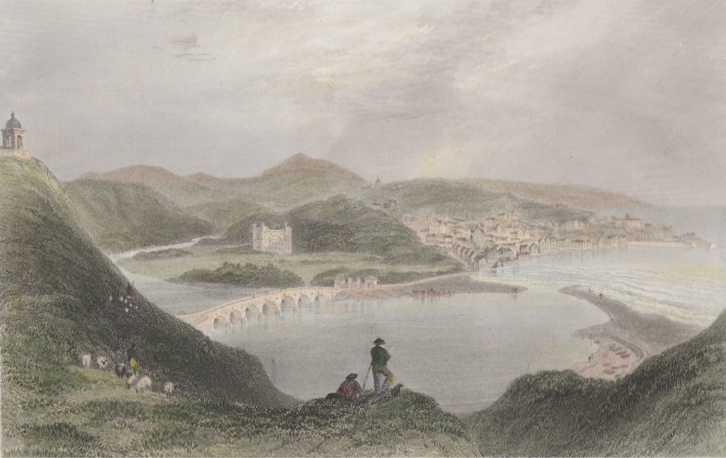
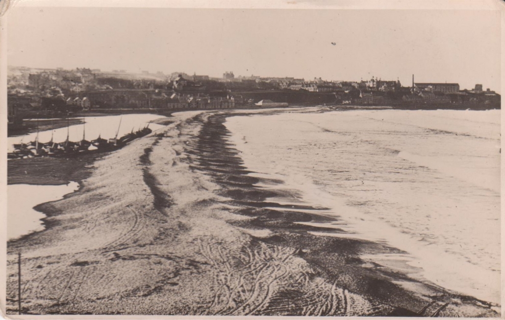
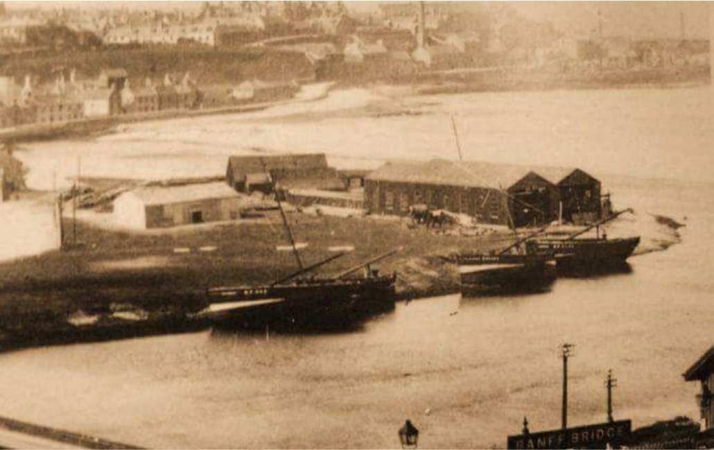
There are also some images which clearly show the estuary, inland of the Bar, being used for shipping. The colour drawing is 1839. The black and white photos are late in the 1800’s. By then there was a shipyard on the Banff side of the river mouth.
 Aberdeenshire Council